


Drought Monitor Continues to Forecast Hot, Dry Weather
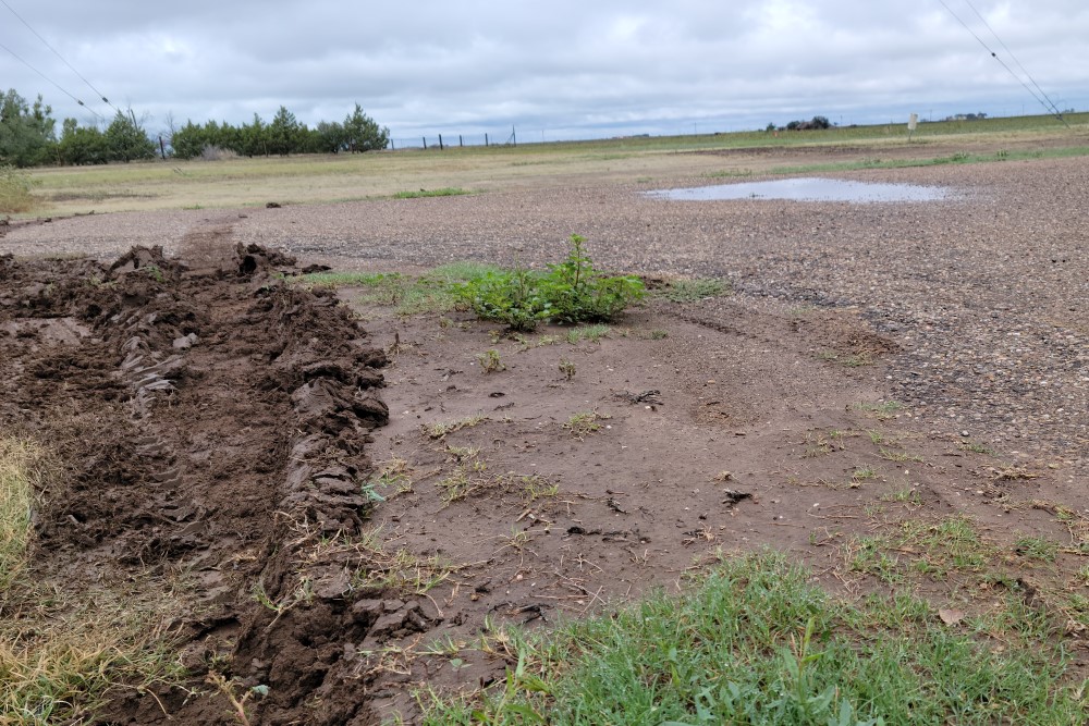
LINCOLN, NE – The U.S. Drought Monitor revealed a continued intensification of drought across western parts of the country, including Northern California, the Great Basin, Southwest, and parts of the Intermountain West. Temperatures were hot and dry as large wildfires burned in California and Colorado. Drought-related conditions continued to deteriorate in areas of West Texas where significant rainfall deficits (4 to 8 inches) have been mounting during the past 90 days as well as extreme heat and drying winds that have stressed crops and degraded rangeland conditions. In the Trans Pecos region of western Texas, August 2019 to July 2020 period was the warmest on record, according to NOAA. The NWS 7-Day Forecast calls for very heavy rainfall accumulations in association with Hurricane Laura. Rainfall accumulations are expected to range from 3 to 15 inches while areas inland in the Lower Mississippi River Basin are expected to see moderate-to-heavy accumulations (2-to-10 inches). In the Midwest, moderate rainfall accumulations (2-to-5 inches) are expected across parts of the region including Missouri, Iowa, Minnesota, Wisconsin, and Michigan as well as in parts of the Northeast. Out West, generally dry conditions are forecasted with the exception of some light precipitation in isolated areas of Arizona, New Mexico, and Colorado.
(SOURCE: U.S. Drought Monitor)